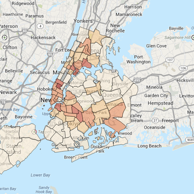
Here is something both neat and kind of depressing to look at: The NYPD’s Information Technology and Telecommunications Department has released an interactive online map that allows New Yorkers to look up basic crime statistics by address, ZIP code, and police precinct. (Less comprehensive numbers have long been available in a more boring form on the Department’s website.) When users enter a location, the map zeros in and displays the area’s number of murders, rapes, felony assaults, robberies, burglaries, and grand larcenies in a given month.
The map also includes blue circles identifying the exact spot where each incident occurred, so people can always know how close they are standing to a place where someone had some kind of horrible experience. While the site was created to fulfill a city law passed this spring, it feels like an appropriate parting gift from the data-obsessed, soon-to-be former police commissioner Ray Kelly, though it will probably get a little glitchy once Bill de Blasio puts some motorcycle gang leader in charge of maintaining it.


